
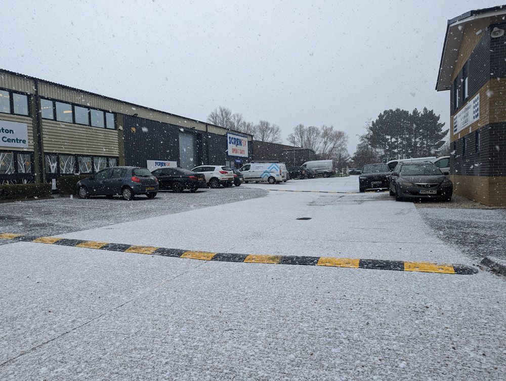
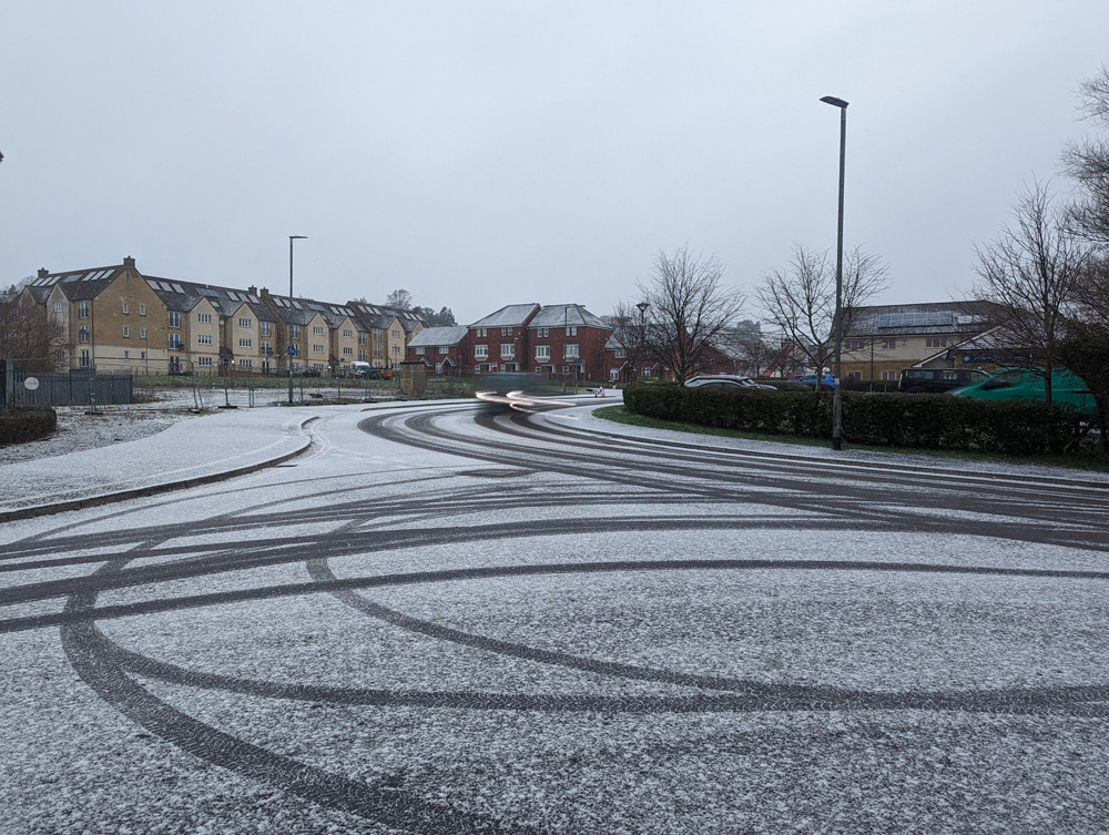
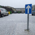
THE Vale was hit by a flurry of snowfall this morning, causing problems for people making their way around.
At around 9.30am, snow started to fall, settling in places, with forecasters saying snow showers could continue ‘at times’ throughout the day.
After an icy start, the Met Office said the snow would be strongest ‘over higher ground’.
“Showers most widespread in the west,” they said.
“Windier than recent days, especially around coasts and in showers.”
Temperatures would reach highs of 6C, they added.
Tonight, wintry showers are predicted to continue, with temperatures reaching -1C overnight.
“Wintry showers and strong winds continuing through the first half of the evening, but winds easing and becoming mostly dry overnight,” the forecaster said.
“Cold overnight with frost forming.”
Thursday would be mostly dry with some sunshine, they said, although rain of sleet could fall in the west of the region.
Are you heading out this afternoon?
🌨️ There'll be further sleet and snow showers across northern and western areas with a continued risk of ice
☀️ However, many places should see plenty of blue skies and sunshine, though it will still be feeling cold
⚠️ Stay #WeatherAware pic.twitter.com/oSf37Dzn35
— Met Office (@metoffice) January 18, 2023


Leave a Reply