
Soak up the scenery as you walk with retired Dorset rights of way officer Chris Slade
Begin at Sheeplands Lane, adjacent to which is a new housing estate with room to park. Go south west down the lane then turn right, north west, up Trent Path Lane (rather muddy in places) along the boundary with Castleton. After about half a mile turn right, north east, still following the boundary until you meet the B3148, Marston Road.
Cross the road and take a lane that heads north at first then doubles round to the right heading south east then curving to the east for a while before meeting Sandford Orcas Road and heading north for half a mile. This part of the walk is in valleys between steep hills and follows the boundary. Then join, on your right, a byway, Quarr Lane, part of the Macmillan Way, which takes you uphill, still following the boundary for a while, south eastwards, although with a few bends.
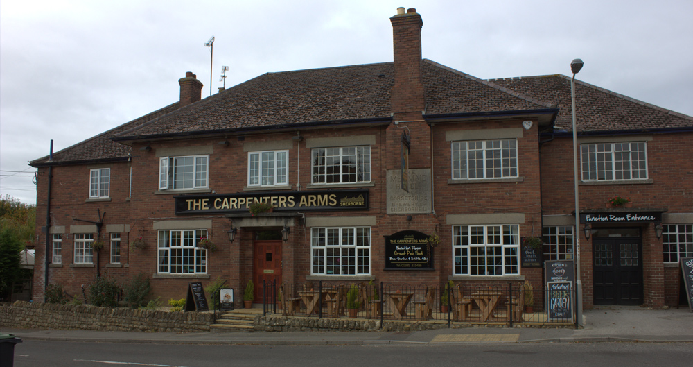
When you cross the brow, continue downhill past Lower Clatcombe Farm. Soon there’s a nature reserve on your right hand side. It has paths parallel with our route so you might want to branch off to explore it. You then join a road, Blackberry Lane, that take you downhill, south south west, past a pub, The Carpenter’s Arms, a skateboard park and Cadet Scout premises.
At a junction at the bottom of the hill, turn left, south, for a short distance to join the Marston Road which takes you north westwards back to Sheeplands Lane where you started. You’ll have walked nearly four miles.


Leave a Reply