
Soak up the scenery as you walk with retired Dorset rights of way officer Chris Slade.
Goathill is a small parish on the county boundary east of Sherborne. If you do this short (4-mile) walk you’ll cover every public highway in the parish in both directions.
Park at the roadside near the church. It was closed when I visited but may have been re-opened since. After visiting it, walk north north west up the road for half a mile to the parish/county boundary, then return to the church. Here you turn right, west, along a public footpath for half a mile to the parish boundary then about turn and return to the road.
Turn right and follow the road southwards as far as the parish boundary then return a short distance to join a bridleway on your right leading eastwards into a wood. At the Somerset/Milborne Port boundary return to the road.
A few yards to the north turn left and join the road that heads south west flanking Goathill Wood as far as the boundary and the walled parkland of the Sherborne Castle Estate then turn round and walk back to your car enjoying the view of the lovely quiet countryside.
In case you’re wondering how to spot the parish boundaries, visit the Dorset Explorer website, select Ordnance Survey mapping, then in the next box down, click on Administrative Boundaries. A list will appear, near the bottom of which is Parishes. Click on that and they will appear on the map.
While you’re at it, you might as well scroll down to Countryside. Click on it and loads of options will appear, including Rights of Way. Click on it and they will appear on the map. You can select the parish and zoom in to the right size then print it.
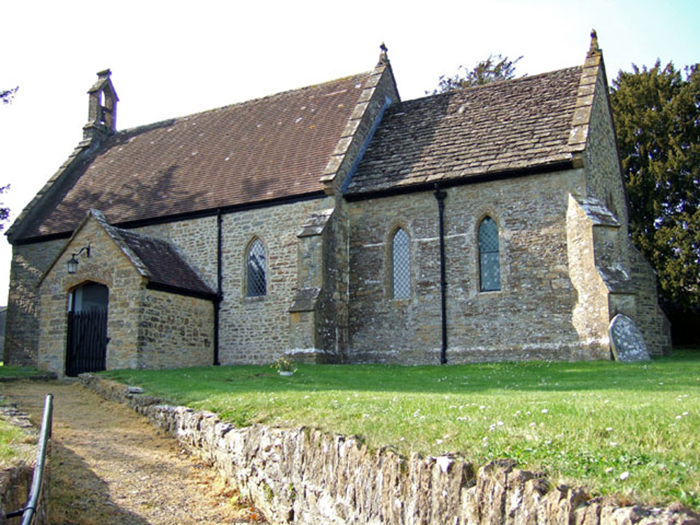
A walk around… Goathill


Related Articles
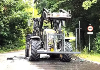
Tractor burnt out after blaze at busy Somerset roundabout
A TRACTOR was destroyed by fire on a busy Somerset road this morning (July…

North Dorset Railway restoration hits another major landmark in bid to get rolling
SHILLINGSTONE Station closed in 1966 – but a group determined to bring locomotives back…
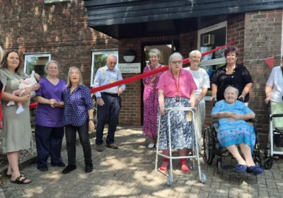
Mayor joins in the fun at Blandford care home’s summer fair!
A BLANDFORD care home’s Summer Fair got mayoral approval during a visit from the…


Leave a Reply